You are here
Burrill/ Morrill Walkway (Completed)
Recent Project Updates
-
5/16/2023The following is an email sent by John Marlin on May 16, 2023: As most of you know I am retired from campus and involved in other off campus conservation activities. I will no longer be overseeing the Burrill Hall native planting. During...
-
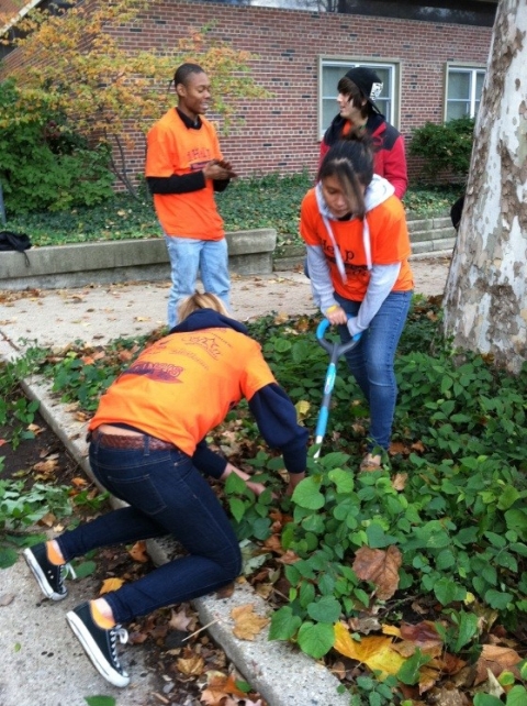
5/17/2021This project is meant to transform the walkway between Burrill and Morrill Halls into a sustainable and multifunctional landscape. The walkway formerly had planters with a few, mostly non-native species. The walkway’s impervious concrete also had...
Project Family
-
Increase Pollinator-Friendly Areas
- Burrill/ Morrill Walkway
- Campus Honors House
- Chi Omega native plants
- Davenport Hall Carbon Garden
- LAR Native Plants
- Low Mow Zones
- Meadow at Orchard Downs
- Native Plants at Arboretum
- Orchard Downs Multifunctional Landscape (ODMFL) [ARCHIVED]
- Plantings at Dorner Drive Retention Pond
- Prairie Restoration at Florida & Orchard
- Small Prairie at Natural Resources Building
- The Illinois Path [ARCHIVED]
- Uni High Butterfly Garden
- Vet Med Prairies
- Woodland Plants at NRB
Project Team
-
Project Leader:
Eliana BrownTeam Members:
- Sarah Lovell-Taylor
- Anna Hochlater
- John Marlin
- Ryan Welch
- Carl Wegel
Dates
-
Proposed April 4, 2012Approved April 23, 2012
Themes
-
Primary Theme:
Other Themes:
Project Location(s)
This map is interactive! Click (or touch) and drag to pan; scroll (or pinch) to zoom.

